Services
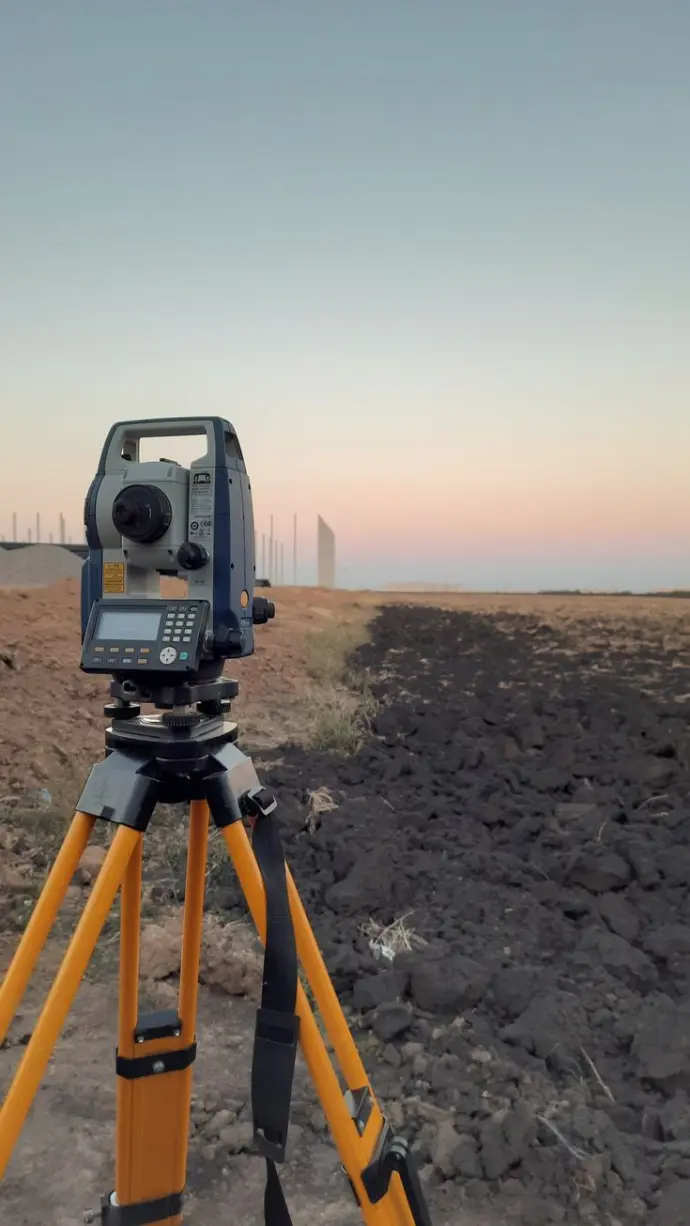
Total Station
Precision in every point, accuracy in every line.
Mapping the future, one coordinate at a time.
Where engineering meets exceptional accuracy.
Defining boundaries with cutting-edge technology.
Expert measurements for informed decisions.
Surveying solutions built on a foundation of quality and precision.
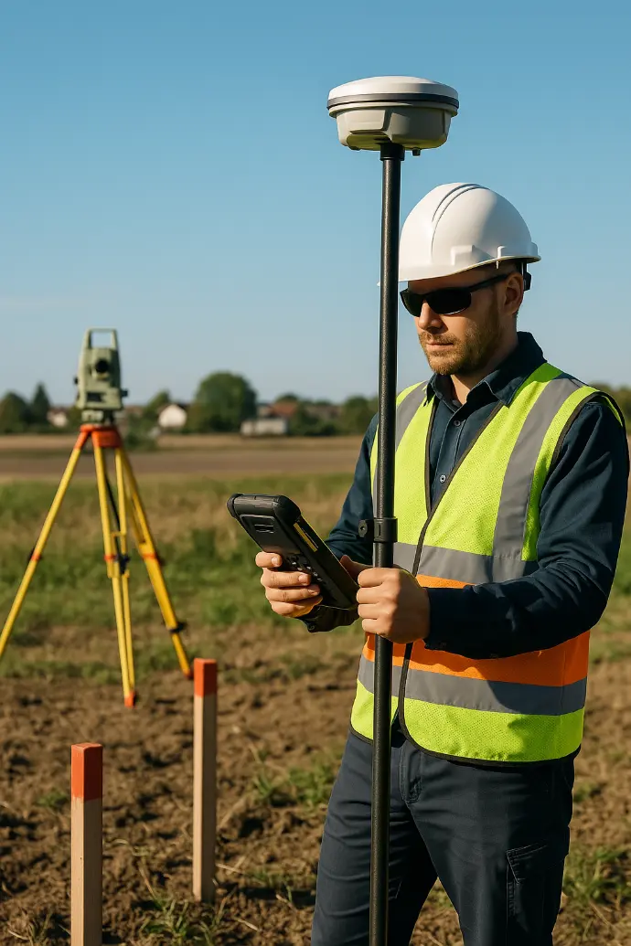
DGPS
DGPS: Differential Global Positioning System
GPS: Global Positioning System
GNSS: Global Navigation Satellite System (a broader term that includes GPS)
Reference Station/Base Station: The stationary receiver at a precisely known location used for calculating and transmitting corrections.
Rover Receiver: The mobile unit carried by the surveyor to collect position data in the field.
Control Points: Specific, highly accurate points established as a reference framework for the survey.
Waypoint/Observation Point: A specific location or feature point recorded by the rover receiver.
Real-Time Kinematic (RTK): A highly accurate DGPS technique that provides immediate corrections via a radio or cellular link, often achieving centimeter-level accuracy.
Post-Processing Kinematic (PPK): A method where raw data is collected in the field and corrected later using specialized software in the office.
Baseline: The measured three-dimensional line between the base station and the rover receiver